


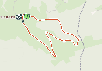

5.6 km | 9.8 km-effort

User


FREE GPS app for hiking
 SityTrail
IGN / Geographical institutes
SityTrail World
The world is yours!
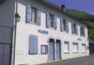
Trail Walking of 4.8 km to be discovered at New Aquitaine, Pyrénées-Atlantiques, Issor. This trail is proposed by tracegps.
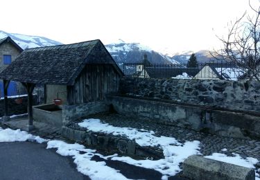
Cercles rudimentaires de pierres : les tumulus attestent d´une antique activité pastorale. Ici rien n´a changé, vous pouvez contempler les mêmes paysages que les bergers d´autrefois. Les crêtes de Soutirou et de Mustayou vous invitent à d´autres randonnées. Retrouvez d’autres informations et la fiche descriptive sur le site Pays Basque et Béarn.

Walking
On foot
On foot
On foot

On foot
Walking

Trail
Walking

Bicycle tourism