


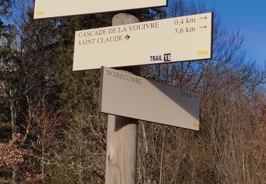
14 km | 21 km-effort

User


FREE GPS app for hiking
 SityTrail
IGN / Geographical institutes
SityTrail World
The world is yours!
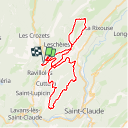
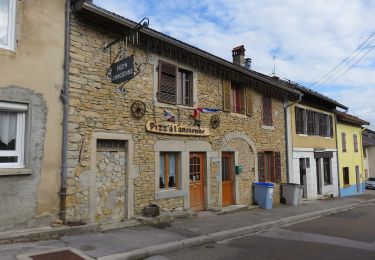
Trail Mountain bike of 36 km to be discovered at Bourgogne-Franche-Comté, Jura, Ravilloles. This trail is proposed by tracegps.
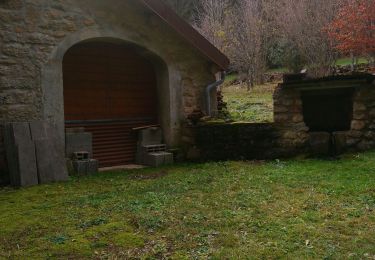
Itinéraire réservé aux vététistes accomplis sur 40km, 1 100m de dénivelé avec quelques portages. Circuit en forêt avec de nombreux belvédères qui vous permettra également de découvrir le Tourbière des Près de Valfin.


Walking
Walking
On foot
Walking
Walking

Walking
Walking
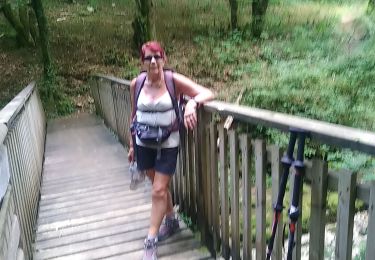
Walking
Walking