


Circuit de raquette de Bussang

tracegps
User
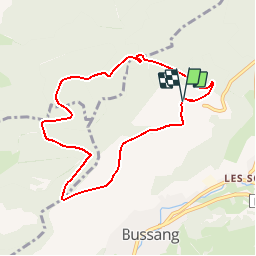

Length
7.7 km

Max alt
1052 m

Uphill gradient
257 m
Km-Effort
11.2 km

Min alt
818 m

Downhill gradient
256 m
Boucle
Yes
Creation date :
2014-12-10 00:00:00.0
Updated on :
2014-12-10 00:00:00.0
3h00
Difficulty : Difficult

FREE GPS app for hiking
 SityTrail
IGN / Geographical institutes
SityTrail Plus
The world is yours!
About
Trail Snowshoes of 7.7 km to be discovered at Grand Est, Vosges, Bussang. This trail is proposed by tracegps.
Description
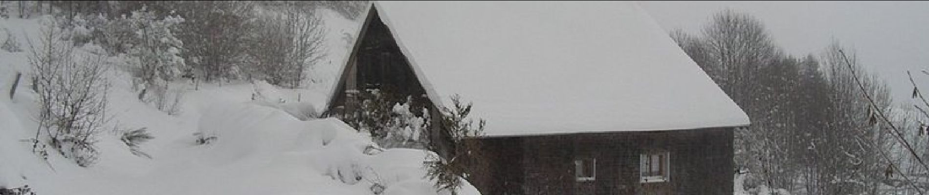
Circuit proposé l’office du tourisme de Bussang. Départ de la piste de ski de Larcenaire. La difficulté du circuit dépend de la quantité de neige (0,70 à 1 m de neige cette année)
Photos


Positioning
Country:
France
Region :
Grand Est
Department/Province :
Vosges
Municipality :
Bussang
Location:
Unknown
Start:(Dec)
Start:(UTM)
340148 ; 5307513 (32T) N.
Comments
Tred bonne appli