


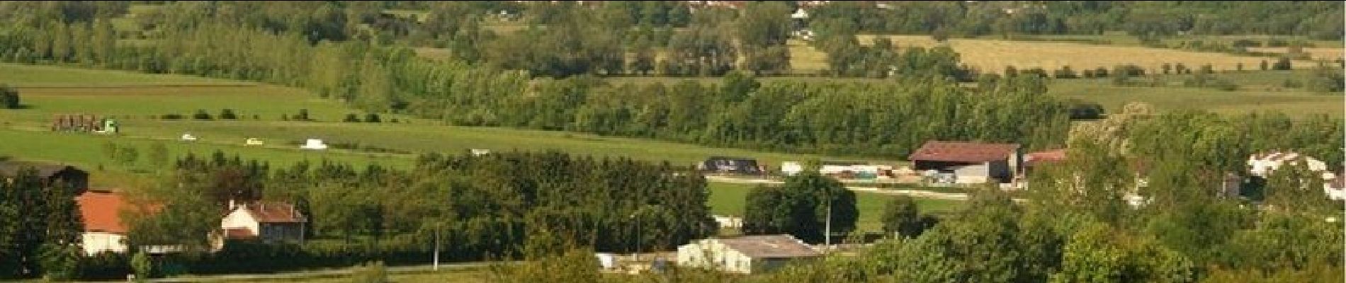
Le Fort - Génicourt sur Meuse

tracegps
User


3h15
Difficulty : Difficult

FREE GPS app for hiking
 SityTrail
IGN / Geographical institutes
SityTrail Plus
The world is yours!
About
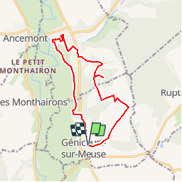
Trail Walking of 12.8 km to be discovered at Grand Est, Meuse, Génicourt-sur-Meuse. This trail is proposed by tracegps.
Description
Circuit proposé par l’Office de Tourisme du Val de Meuse. Départ de l’église de génicourt-sur-Meuse. Un parcours plaisant, très varié avec de magnifiques panoramas, mêlant architecture et nature. A parcourir en dehors des périodes de chasse. Retrouvez ce circuit et son descriptif sur le site du Val de Meuse.
Photos


Positioning
Comments