


Pont de l'Arche - Lery et retour par la forêt.

MichelRando7656
User
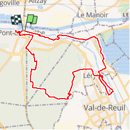

Length
21 km

Max alt
126 m

Uphill gradient
244 m
Km-Effort
24 km

Min alt
2 m

Downhill gradient
240 m
Boucle
Yes
Creation date :
2019-04-29 10:39:19.653
Updated on :
2019-04-29 10:39:19.806
4h59
Difficulty : Medium

FREE GPS app for hiking
 SityTrail
IGN / Geographical institutes
SityTrail Plus
The world is yours!
About
Trail Walking of 21 km to be discovered at Normandy, Eure, Pont-de-l'Arche. This trail is proposed by MichelRando7656.
Description
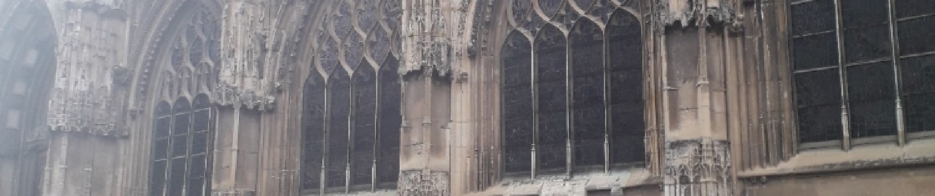
Chemins de traverse, routes campagnardes et chemins forestiers pour le retour. Visite rapide des anciennes maisons et anciens remparts.
Photos


Positioning
Country:
France
Region :
Normandy
Department/Province :
Eure
Municipality :
Pont-de-l'Arche
Location:
Unknown
Start:(Dec)
Start:(UTM)
366180 ; 5463059 (31U) N.
Comments