


5.7 km | 7 km-effort


User


FREE GPS app for hiking
 SityTrail
IGN / Geographical institutes
SityTrail World
The world is yours!
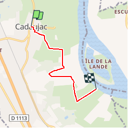
Trail Walking of 4.2 km to be discovered at New Aquitaine, Gironde, Cadaujac. This trail is proposed by tracegps.
Circuit proposé par le Savoirs et Images en Graves Montesquieu. Promenade facile de l'église Saint-Pierre au port de l'Esquilot sur la Garonne. Départ de l'église de Cadaujac. Retrouvez le circuit sur le site de «Savoir et images en Graves Montesquieu».


Walking

Walking
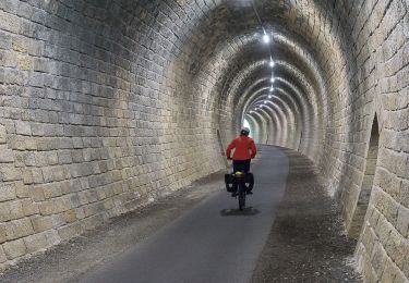
Bicycle tourism

Walking

Walking

Walking

Walking

Walking
test
bon GPS il me rend de grand service