


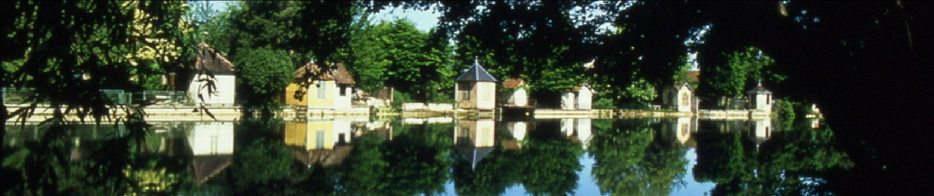
La Seine de Troyes à la Côte des Bar

tracegps
User


3h30
Difficulty : Medium

FREE GPS app for hiking
 SityTrail
IGN / Geographical institutes
SityTrail Plus
The world is yours!
About
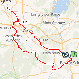
Trail Cycle of 77 km to be discovered at Grand Est, Aube, Bar-sur-Seine. This trail is proposed by tracegps.
Description
Proposé par le Comité Départemental du Tourisme de l'Aube, un circuit créé et validé par la Fédération Départementale du Cyclotourisme de l’Aube. La Seine de Troyes à la Côte des Bar – 78 km A voir lors de votre circuit : - Église aux 3 sanctuaires d’Isle-Aumont - Bar sur Seine et son Église - Commanderie d’Avalleur - Vallée de la Seine - Chappes base de canoë Kayak - Rumilly les Vaudes : Manoir - Églises de Chappes, Fouchères, Rumilly les Vaudes et Clérey .
Photos


Positioning
Comments