


le tour des plombières by phiphidechagny

phiphidechagny
User
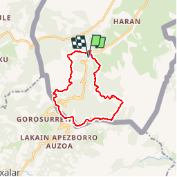

Length
12.7 km

Max alt
520 m

Uphill gradient
537 m
Km-Effort
19.8 km

Min alt
113 m

Downhill gradient
541 m
Boucle
Yes
Creation date :
2019-05-07 00:14:13.954
Updated on :
2019-05-07 00:14:13.954
3h24
Difficulty : Easy

FREE GPS app for hiking
 SityTrail
IGN / Geographical institutes
SityTrail Plus
The world is yours!
About
Trail Walking of 12.7 km to be discovered at New Aquitaine, Pyrénées-Atlantiques, Sare. This trail is proposed by phiphidechagny.
Description
boucle autour des plombières
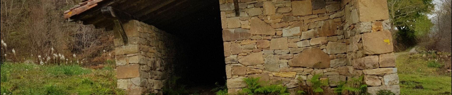
Photos


25 photos in total. Please click on a photo to see them all in the gallery.


Positioning
Country:
France
Region :
New Aquitaine
Department/Province :
Pyrénées-Atlantiques
Municipality :
Sare
Location:
Unknown
Start:(Dec)
Start:(UTM)
613416 ; 4792550 (30T) N.
Comments