


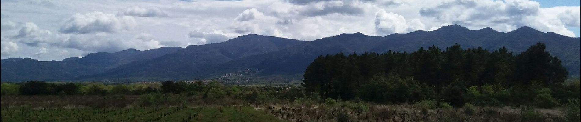
banyul tels aspres . brouilla par les vigne retour le long du Tech

stef789
User GUIDE
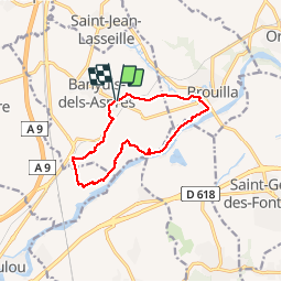

Length
11.5 km

Max alt
86 m

Uphill gradient
88 m
Km-Effort
12.6 km

Min alt
35 m

Downhill gradient
82 m
Boucle
Yes
Creation date :
2019-05-07 00:23:13.557
Updated on :
2019-05-07 00:23:13.557
3h48
Difficulty : Unknown

FREE GPS app for hiking
 SityTrail
IGN / Geographical institutes
SityTrail Plus
The world is yours!
About
Trail Walking of 11.5 km to be discovered at Occitania, Pyrénées-Orientales, Banyuls-dels-Aspres. This trail is proposed by stef789.
Photos


Positioning
Country:
France
Region :
Occitania
Department/Province :
Pyrénées-Orientales
Municipality :
Banyuls-dels-Aspres
Location:
Unknown
Start:(Dec)
Start:(UTM)
489569 ; 4712438 (31T) N.
Comments