


Course Orientation espedaillac

bellouelo46
User
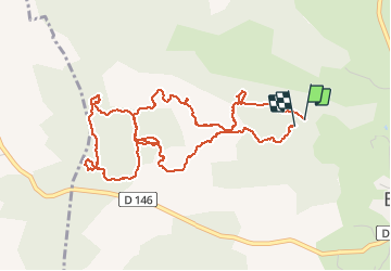

Length
5.9 km

Max alt
448 m

Uphill gradient
108 m
Km-Effort
7.3 km

Min alt
383 m

Downhill gradient
104 m
Boucle
Yes
Creation date :
2019-05-07 00:50:10.36
Updated on :
2019-05-07 00:50:10.36
1h41
Difficulty : Easy

FREE GPS app for hiking
 SityTrail
IGN / Geographical institutes
SityTrail Plus
The world is yours!
About
Trail Other activity of 5.9 km to be discovered at Occitania, Lot, Espédaillac. This trail is proposed by bellouelo46.
Description
Course Orientation
Positioning
Country:
France
Region :
Occitania
Department/Province :
Lot
Municipality :
Espédaillac
Location:
Unknown
Start:(Dec)
Start:(UTM)
401914 ; 4944170 (31T) N.
Comments