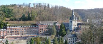
Balade à Malonne

Desrumaux
User GUIDE

Length
10.2 km

Max alt
203 m

Uphill gradient
286 m
Km-Effort
14 km

Min alt
89 m

Downhill gradient
277 m
Boucle
Yes
Creation date :
2014-12-10 00:00:00.0
Updated on :
2014-12-10 00:00:00.0
2h30
Difficulty : Easy

FREE GPS app for hiking
 SityTrail
IGN / Geographical institutes
SityTrail Plus
The world is yours!
About
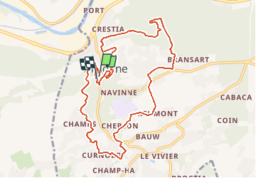
Trail Walking of 10.2 km to be discovered at Wallonia, Namur, Namur. This trail is proposed by Desrumaux.
Description
Détails de la rando sur le site tracegps.com http://www.tracegps.com/fr/parcours/circuit12871.htm
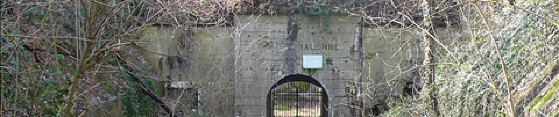
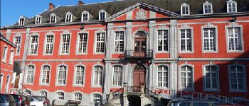
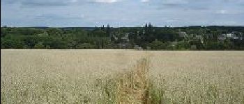
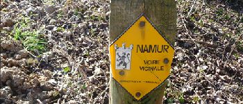
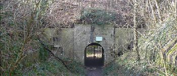
Photos


Positioning
Country:
Belgium
Region :
Wallonia
Department/Province :
Namur
Municipality :
Namur
Location:
Malonne
Start:(Dec)
Start:(UTM)
627484 ; 5588756 (31U) N.
Comments