


arsel pic des pessons

labarone
User
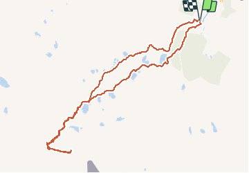

Length
11.5 km

Max alt
2845 m

Uphill gradient
776 m
Km-Effort
22 km

Min alt
2106 m

Downhill gradient
772 m
Boucle
Yes
Creation date :
2019-05-07 02:04:32.815
Updated on :
2019-05-07 02:04:32.815
6h07
Difficulty : Difficult

FREE GPS app for hiking
 SityTrail
IGN / Geographical institutes
SityTrail Plus
The world is yours!
About
Trail Walking of 11.5 km to be discovered at Andorra. This trail is proposed by labarone.
Description
Superbes lacs
Positioning
Country:
Andorra
Region :
Unknown
Department/Province :
Unknown
Municipality :
Unknown
Location:
Unknown
Start:(Dec)
Start:(UTM)
392949 ; 4709655 (31T) N.
Comments