


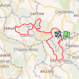


16.4 km | 21 km-effort


User


FREE GPS app for hiking
 SityTrail
IGN / Geographical institutes
SityTrail World
The world is yours!
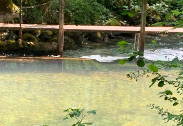
Trail Walking of 19.3 km to be discovered at Auvergne-Rhône-Alpes, Ain, Vongnes. This trail is proposed by patpounet73.
Belle randonnée familiale. Notre seule difficulté a été de trouver le sentier qui longe le coté est du lac de Chavoley. Cadre champêtre très reposant.Les villages traversés sont magnifiques, beaucoup de maisons restaurées avec goût.


Mountain bike
Mountain bike
Mountain bike
Hybrid bike
Mountain bike
Mountain bike
Mountain bike
Walking
Mountain bike