Trail Walking Villers-la-Ville - Balade forestière à Villers la Ville - Photo

Balade forestière à Villers la Ville

 Desrumaux
Desrumaux

User GUIDE

© OpenStreetMap contributors
Length
Length
11.5 km
Max alt
Max alt
165 m
Uphill gradient
Uphill gradient
194 m
Km-Effort
Km-Effort  
14.1 km
Min alt
Min alt
88 m
Downhill gradient
Downhill gradient
190 m
Boucle
Boucle
Yes
Creation date :
2018-05-09 00:00:00.0
Updated on :
2018-05-09 00:00:00.0

(5 Reviews)

Walking
Walking
3h00
Difficulty : Easy

Scan this QR Code to open this trail in the SityTrail application

FREE GPS app for hiking

Logo SityTrail SityTrail

IGN / Geographical institutes

Download SityTrail from the App Store Download SityTrail from Google Play

Logo SityTrail SityTrail World

The world is yours!

Download SityTrail from the App Store Download SityTrail from Google Play Download SityTrail on Huawei AppGallery

About

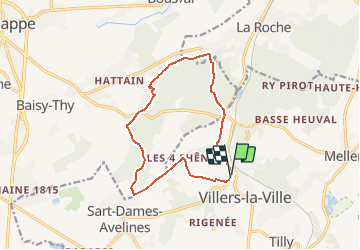
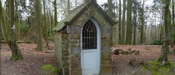
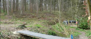
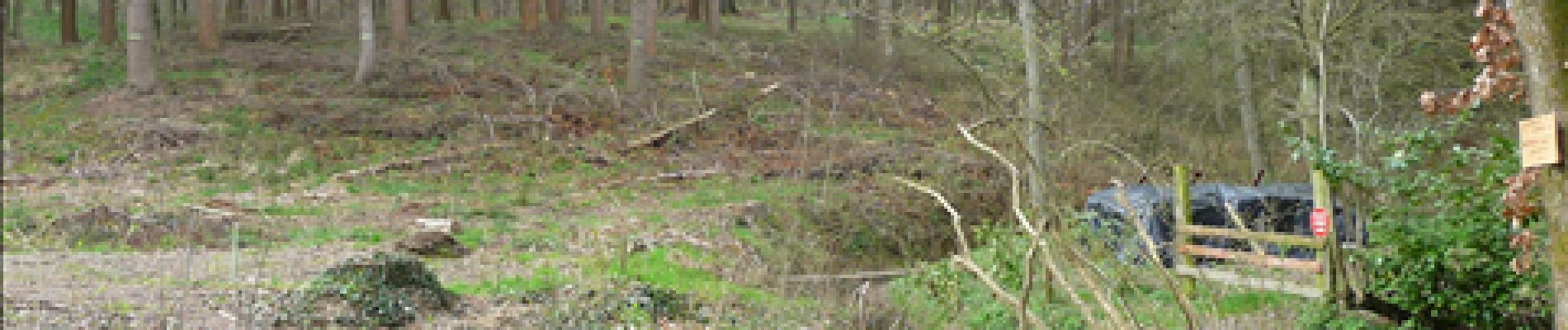
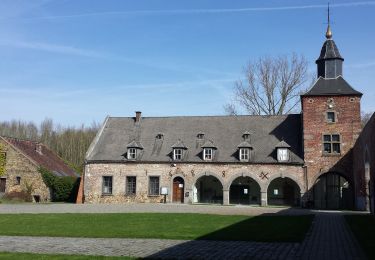
Trail Walking of 11.5 km to be discovered at Wallonia, Walloon Brabant, Villers-la-Ville. This trail is proposed by Desrumaux.

Description

Détails de la rando sur le site tracegps.com  http://www.tracegps.com/fr/parcours/circuit13190.htm

Elevation profile

Photos

Points of interest

Point of interest Villers-la-Ville - Villers-la-Ville - Photo
Desrumaux
VILLERS-LA-VILLE 
Point of interest Villers-la-Ville - Villers-la-Ville - Photo
Desrumaux
VILLERS-LA-VILLE 
Point of interest Genappe - Villers-la-Ville - Photo
Desrumaux
Point of interest Villers-la-Ville - Villers-la-Ville - Photo
Desrumaux
VILLERS-LA-VILLE 
Point of interest Villers-la-Ville - Villers-la-Ville - Photo
Desrumaux
VILLERS-LA-VILLE 
Point of interest Genappe - Villers-la-Ville - Photo
Desrumaux

Positioning

Country:
Belgium
Region :
Wallonia
Department/Province :
Walloon Brabant
Municipality :
Villers-la-Ville
Location:
Villers-la-Ville
Start:(UTM)
608300 ; 5603964 (31U) N.

Comments

Please log in to post a review or rate the element


Trails nearby

Trail Walking Villers-la-Ville - RB-Bw-10-raccourci 2 - À travers campagnes et forêts, autour des ruines d’une prestigieuse abbaye - Photo
Walking
PRO

Walking

Difficult
(25)
Villers-la-Ville, Wallonia, Walloon Brabant, Belgium
13.3 km | 16.4 km-effort
3h 44min
Yes
Trail Walking Villers-la-Ville - RB-Bw-10-raccourci 1 - À travers campagnes et forêts, autour des ruines d’une prestigieuse abbaye  - Photo
Walking
PRO

Walking

Very difficult
(12)
Villers-la-Ville, Wallonia, Walloon Brabant, Belgium
24 km | 30 km-effort
6h 43min
Yes
Trail Walking Genappe - RB-Bw-09 Raccourci 1 & 2 - Autour de la jeune Dyle et de ses affluents - Photo
Walking
PRO

Walking

Difficult
(11)
Genappe, Wallonia, Walloon Brabant, Belgium
9.7 km | 12.5 km-effort
2h 50min
Yes
Trail Walking Genappe - RB-Bw-09 Raccourci 1 - Autour de la jeune Dyle et de ses affluents - Photo
Walking
PRO

Walking

Difficult
(11)
Genappe, Wallonia, Walloon Brabant, Belgium
13.2 km | 16.9 km-effort
3h 49min
Yes
Trail Walking Villers-la-Ville - RB-Bw-10 -À travers campagnes et forêts, autour des ruines d’une prestigieuse abbaye  - Photo
Walking
PRO

Walking

Very difficult
(6)
Villers-la-Ville, Wallonia, Walloon Brabant, Belgium
26 km | 32 km-effort
7h 15min
Yes
Trail Walking Genappe - RB-Bw-09 - Autour de la jeune Dyle et de ses affluents - Photo
Walking
PRO

Walking

Medium
(9)
Genappe, Wallonia, Walloon Brabant, Belgium
22 km | 28 km-effort
5h 59min
Yes
Trail Walking Genappe - Genappe - Circuit Natura 2000, des sites qui valent le détour ! - Bw03 - Photo
Walking
GUIDE+

Walking

Medium
(6)
Genappe, Wallonia, Walloon Brabant, Belgium
7.9 km | 9.7 km-effort
2h 6min
Yes
Trail Walking Court-Saint-Étienne - GG2-Bw-22_La-Roche-Blanmont_2021-11-04 - Photo
Walking
PRO

Walking

Medium
(2)
Court-Saint-Étienne, Wallonia, Walloon Brabant, Belgium
21 km | 26 km-effort
5h 51min
No
Trail Walking Court-Saint-Étienne - #240304 - La Roche, bois Ste Catherine et du Sartage - Photo
Walking
Randos Ouvertes

Walking

Medium
(1)
Court-Saint-Étienne, Wallonia, Walloon Brabant, Belgium
5.8 km | 7.6 km-effort
1h 42min
Yes


Close
My subscriptions