


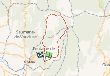
L'Oule - Mourre de la belle Etoile

MarcLEBARON
User

Length
12.5 km

Max alt
663 m

Uphill gradient
582 m
Km-Effort
20 km

Min alt
80 m

Downhill gradient
587 m
Boucle
Yes
Creation date :
2015-02-22 00:00:00.0
Updated on :
2015-02-22 00:00:00.0
2h54
Difficulty : Medium

FREE GPS app for hiking
 SityTrail
IGN / Geographical institutes
SityTrail Plus
The world is yours!
About
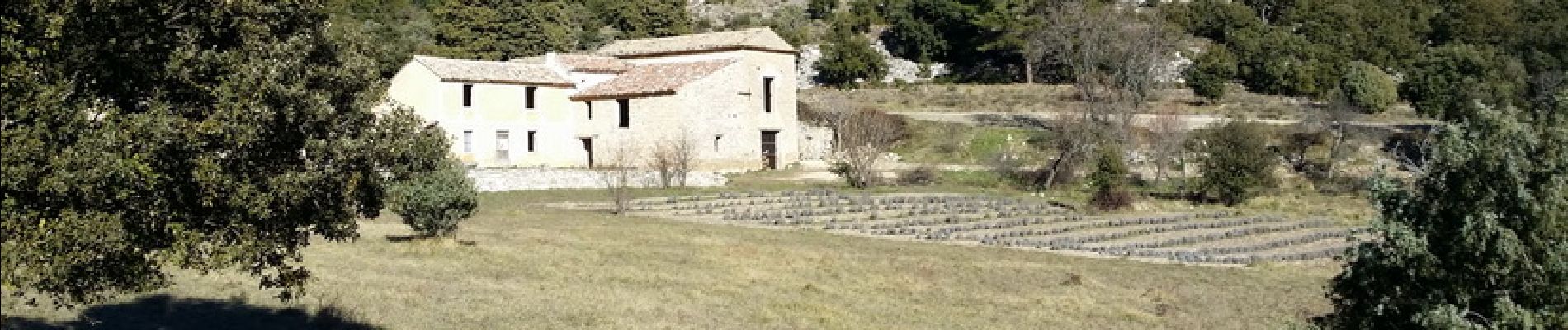
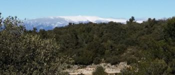
Trail Walking of 12.5 km to be discovered at Provence-Alpes-Côte d'Azur, Vaucluse, Fontaine-de-Vaucluse. This trail is proposed by MarcLEBARON.
Description
Boucle autour de Fontaine de Vaucluse
Photos


Positioning
Country:
France
Region :
Provence-Alpes-Côte d'Azur
Department/Province :
Vaucluse
Municipality :
Fontaine-de-Vaucluse
Location:
Unknown
Start:(Dec)
Start:(UTM)
670865 ; 4864475 (31T) N.
Comments