


Mont Ste Marie et Le Tri

pjjrevrard
User

Length
11 km

Max alt
250 m

Uphill gradient
268 m
Km-Effort
14.6 km

Min alt
121 m

Downhill gradient
267 m
Boucle
Yes
Creation date :
2014-12-10 00:00:00.0
Updated on :
2014-12-10 00:00:00.0
--
Difficulty : Easy

FREE GPS app for hiking
 SityTrail
IGN / Geographical institutes
SityTrail Plus
The world is yours!
About
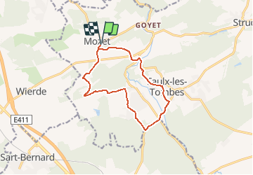
Trail Walking of 11 km to be discovered at Wallonia, Namur, Gesves. This trail is proposed by pjjrevrard.
Description
Combinaison de deux balades balisées de la Commune de Gesves (rectangle bleu avec bande blanche et rectangle vert avec bande blanche)
Positioning
Country:
Belgium
Region :
Wallonia
Department/Province :
Namur
Municipality :
Gesves
Location:
Mozet
Start:(Dec)
Start:(UTM)
641099 ; 5589489 (31U) N.
Comments
très belle promenade mais qui emprunte de temps en temps des routes et non pas seulement des sentiers. autant savoir.