


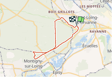
120711-GLM - Moret-TableRoi

randodan
User


--
Difficulty : Very easy

FREE GPS app for hiking
 SityTrail
IGN / Geographical institutes
SityTrail Plus
The world is yours!
About
Trail Walking of 12.7 km to be discovered at Ile-de-France, Seine-et-Marne, Moret-Loing-et-Orvanne. This trail is proposed by randodan.
Description
Mercredi matin
Mon GPS étant défaillant, j'ai copié ici la trace GPS de Jean-Claude.
Zamet, Larchant-Moret, pause à la Table du Roi.
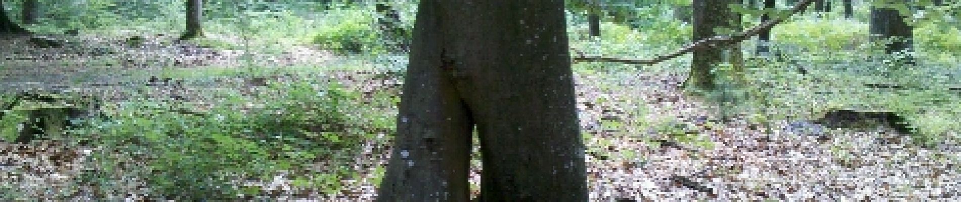
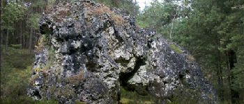
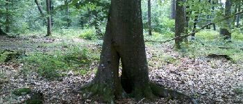
Jean nous fait découvrir la Roche à Boule.
Retour Gde Vallée... Montrichard.
9 participants
Photos


Positioning
Comments