


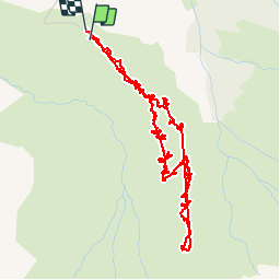


11.3 km | 20 km-effort


User


FREE GPS app for hiking
 SityTrail
IGN / Geographical institutes
SityTrail World
The world is yours!
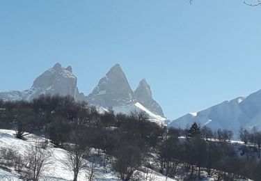
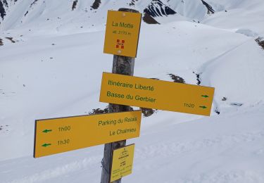
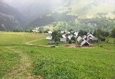
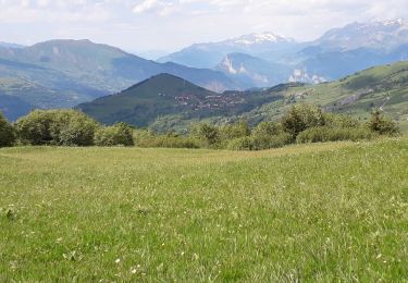
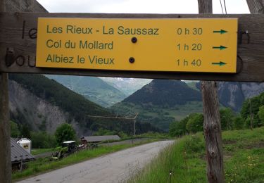
Trail Walking of 8.4 km to be discovered at Auvergne-Rhône-Alpes, Savoy, Albiez-Montrond. This trail is proposed by marmotte83.
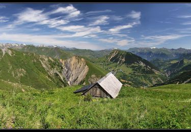
Sentier découverte très sympathique. très bien pour la famille. Des lieux sont aménagés pour faire découvrir la vie dans l'alpage.

Snowshoes
Snowshoes
Snowshoes
Walking
Walking
Snowshoes

Walking
Walking
Walking