


la croix Crey Aigu (retour)

marmotte83
User

Length
2.6 km

Max alt
2305 m

Uphill gradient
17 m
Km-Effort
3.8 km

Min alt
2004 m

Downhill gradient
301 m
Boucle
No
Creation date :
2014-12-10 00:00:00.0
Updated on :
2014-12-10 00:00:00.0
1h40
Difficulty : Easy

FREE GPS app for hiking
 SityTrail
IGN / Geographical institutes
SityTrail Plus
The world is yours!
About
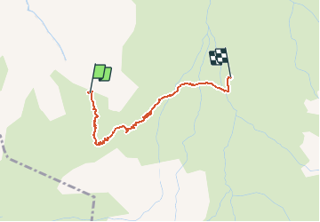
Trail Walking of 2.6 km to be discovered at Auvergne-Rhône-Alpes, Savoy, Albiez-Montrond. This trail is proposed by marmotte83.
Description
Descente très facile avec prudence quelques passages raides et trous. Belle vue sur les aiguilles d'Arves
Positioning
Country:
France
Region :
Auvergne-Rhône-Alpes
Department/Province :
Savoy
Municipality :
Albiez-Montrond
Location:
Unknown
Start:(Dec)
Start:(UTM)
289651 ; 5004645 (32T) N.
Comments