


GLM-120718 - HouxFranchard

randodan
User
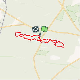

Length
14.7 km

Max alt
141 m

Uphill gradient
179 m
Km-Effort
17.1 km

Min alt
90 m

Downhill gradient
181 m
Boucle
Yes
Creation date :
2014-12-10 00:00:00.0
Updated on :
2014-12-10 00:00:00.0
6h35
Difficulty : Medium

FREE GPS app for hiking
 SityTrail
IGN / Geographical institutes
SityTrail Plus
The world is yours!
About
Trail Walking of 14.7 km to be discovered at Ile-de-France, Seine-et-Marne, Fontainebleau. This trail is proposed by randodan.
Description
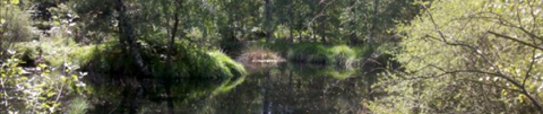
Les Gais Lurons du Mercredi.
18 juillet 2012.
Départ parking Franchard.
Platières des Gorges du Houx,
Mare aux Pigeons,
Gorges de Franchard.
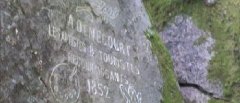
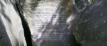
Photos


Positioning
Country:
France
Region :
Ile-de-France
Department/Province :
Seine-et-Marne
Municipality :
Fontainebleau
Location:
Unknown
Start:(Dec)
Start:(UTM)
473094 ; 5361826 (31U) N.
Comments