


120725-GLM - Moret-Escargot

randodan
User


3h41
Difficulty : Very easy

FREE GPS app for hiking
 SityTrail
IGN / Geographical institutes
SityTrail Plus
The world is yours!
About
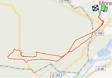
Trail Walking of 11.8 km to be discovered at Ile-de-France, Seine-et-Marne, Moret-Loing-et-Orvanne. This trail is proposed by randodan.
Description
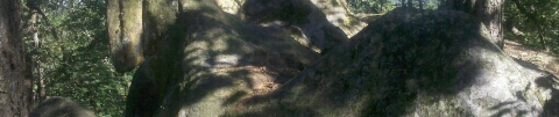
Mercredi matin .
Vu la canicule prévue, visons tout de suite le max d'ombre. Départ par Montrichard .
Crête de Marion, pause à l'Escargot et Jean nous fait découvrir le Menhir .
Retour par Homme Fossile et au plus près de la voie ferrée pour un max d'ombre . 9 1 participants (Mimi se la joue perso)
Photos


Positioning
Comments