


Pont de Mercier

philoustetou
User
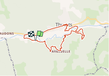

Length
10.4 km

Max alt
601 m

Uphill gradient
398 m
Km-Effort
15.7 km

Min alt
370 m

Downhill gradient
396 m
Boucle
Yes
Creation date :
2014-12-10 00:00:00.0
Updated on :
2014-12-10 00:00:00.0
2h46
Difficulty : Easy

FREE GPS app for hiking
 SityTrail
IGN / Geographical institutes
SityTrail Plus
The world is yours!
About
Trail Walking of 10.4 km to be discovered at Auvergne-Rhône-Alpes, Ardèche, Thueyts. This trail is proposed by philoustetou.
Description
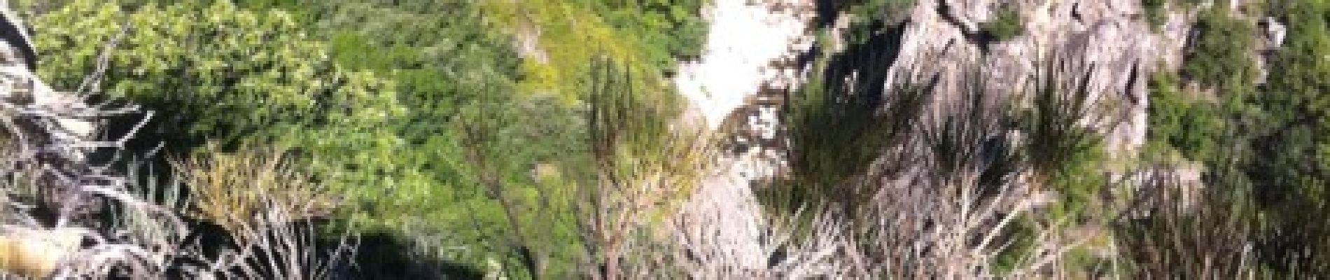
En partant du camping de Belos ou de Thueyts, ballade facile avec passage au pont du diable et vues sur Thueyts et la chaussée des géants.
Photos


Positioning
Country:
France
Region :
Auvergne-Rhône-Alpes
Department/Province :
Ardèche
Municipality :
Thueyts
Location:
Unknown
Start:(Dec)
Start:(UTM)
595575 ; 4946902 (31T) N.
Comments
thueyts