


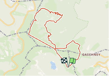
Schiessroth - Frankentahl - Trois Fours - Schaefferthal - Schiessroth

delm
User


3h07
Difficulty : Unknown

FREE GPS app for hiking
 SityTrail
IGN / Geographical institutes
SityTrail Plus
The world is yours!
About
Trail Walking of 10.5 km to be discovered at Grand Est, Haut-Rhin, Metzeral. This trail is proposed by delm.
Description
Pour les amateurs de beaux paysages Schiessroth - Schallern 20 mm
Schallern - Schaefferthal 25 mm
Schaefferthal - Frankethal 45 mm
Frankenthal - Trois Four 60 mm
Trois Four - Falimont 25 mm
Falimont - Schaefferthal 20 mm
Schaefferthal - Schiessroth 20 mm
Positioning
Comments