


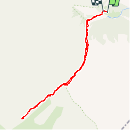

9.3 km | 16.1 km-effort

User


FREE GPS app for hiking
 SityTrail
IGN / Geographical institutes
SityTrail World
The world is yours!
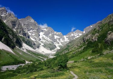
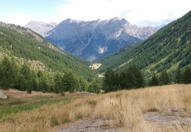
Trail Walking of 9.7 km to be discovered at Provence-Alpes-Côte d'Azur, Hautes-Alpes, Vallouise-Pelvoux. This trail is proposed by Philou888.
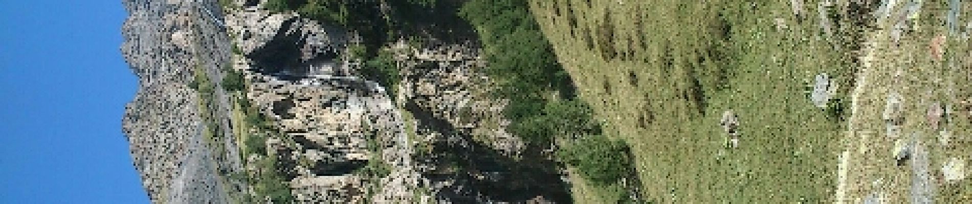
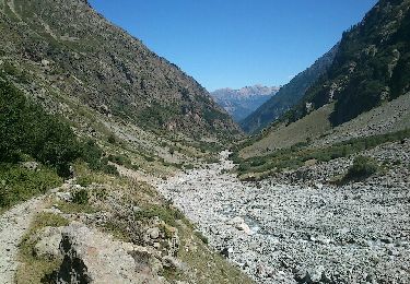
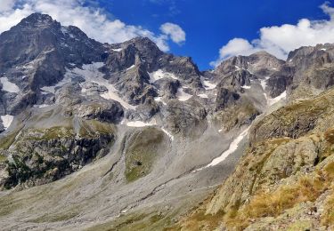
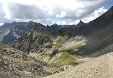
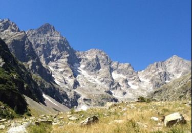
un vallon sauvage et tranquille


Walking
Walking
Walking
Walking
Walking

Walking

Walking
Walking
Walking