


Corrèze Monedieres

maginot
User
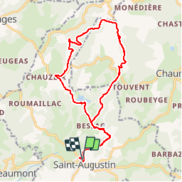

Length
17.8 km

Max alt
894 m

Uphill gradient
474 m
Km-Effort
24 km

Min alt
558 m

Downhill gradient
478 m
Boucle
Yes
Creation date :
2014-12-10 00:00:00.0
Updated on :
2014-12-10 00:00:00.0
1h39
Difficulty : Difficult

FREE GPS app for hiking
 SityTrail
IGN / Geographical institutes
SityTrail Plus
The world is yours!
About
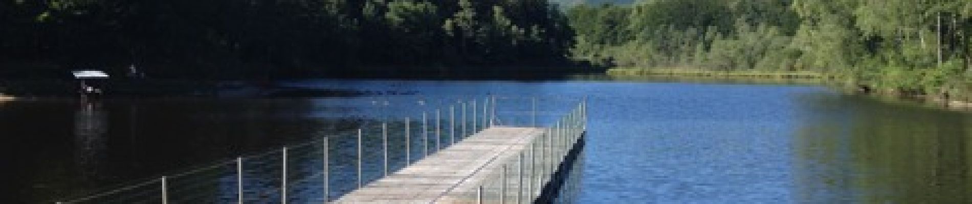
Trail Mountain bike of 17.8 km to be discovered at New Aquitaine, Corrèze, Saint-Augustin. This trail is proposed by maginot.
Description
Parcours très difficile à l allé monte des Monedieres retour facile point de vue magnifique
Photos


Positioning
Country:
France
Region :
New Aquitaine
Department/Province :
Corrèze
Municipality :
Saint-Augustin
Location:
Unknown
Start:(Dec)
Start:(UTM)
408921 ; 5030950 (31T) N.
Comments