


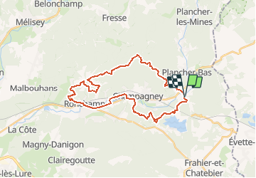

14.6 km | 23 km-effort


User


FREE GPS app for hiking
 SityTrail
IGN / Geographical institutes
SityTrail World
The world is yours!
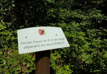
Trail Walking of 30 km to be discovered at Bourgogne-Franche-Comté, Haute-Saône, Plancher-Bas. This trail is proposed by ballet.
Avec en prine la Chapelle du Haut du célèbre Le Corbusier et un point de vue sur Ronchamp

Walking
Walking
Walking
Walking
Walking
Walking
Walking
Walking

Walking