


6.6 km | 12.1 km-effort

User


FREE GPS app for hiking
 SityTrail
IGN / Geographical institutes
SityTrail World
The world is yours!
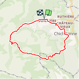
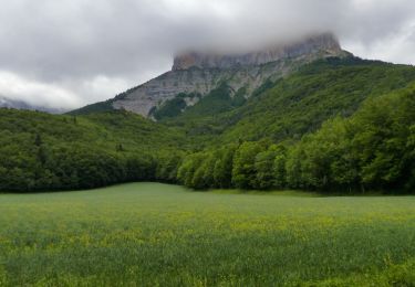
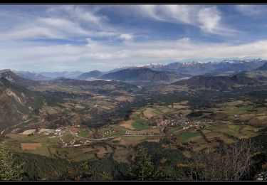
Trail Walking of 17.8 km to be discovered at Auvergne-Rhône-Alpes, Isère, Chichilianne. This trail is proposed by randodan.
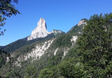
2012 - Vercors Manureva - 22 sep - Tour de la Tête Chevalière par les Pas de l'Essaure et de l'Aiguille .
Départ Gai Soleil Richardière 9h (1040 m) . A peine sortis qu'une petite pluie nous fait sortir les capes, mais 1/2h plus tard, on les rangera . Dans la Plaine de la Touche, Richard s'exerce au rodéo . 10h, à Chichilianne (995 m), Véro craque pour le pâtissier ambulant.
Midi, 1660 m, au Pas de l'Essaure d'où décolle toute une bande de vautours ; poussons jusqu'à une petite butte cotée 1701 m pour le casse-croûte .
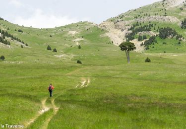
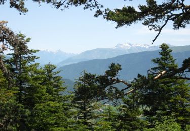
13h, nous dirigeons vers les Hauts Plateaux du Vercors et ses lapiaz (1800/1840 m).
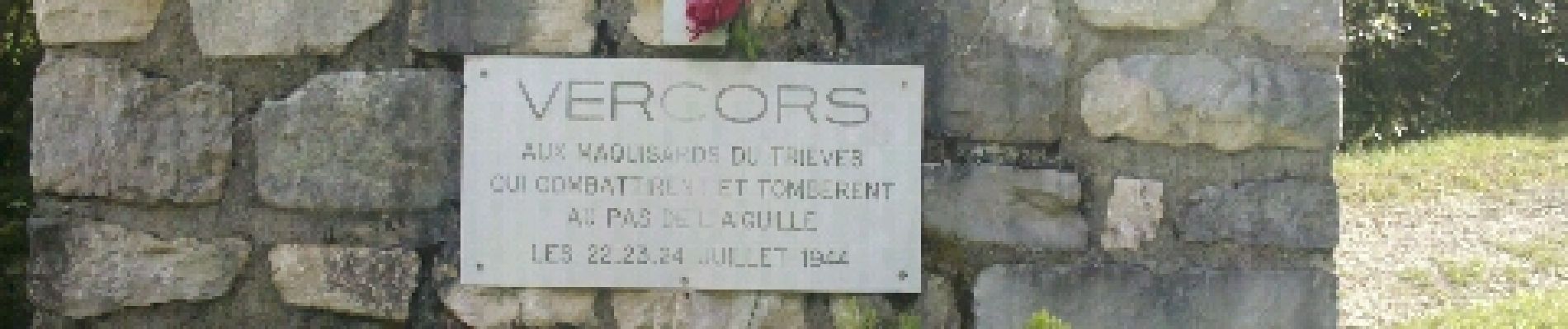
14h30, Refuge de Chaumailloux en vue . Petite pause devant le Monument de la Résistance, puis, 15h au Pas de l'Aiguille (1622 m), entamons sa descente assez impressionnante . 16h15 à la Richardière pour la "Préambulle" .
 - PasEssaure-PasAiguille - Photo 1")
 - PasEssaure-PasAiguille - Photo 2")
 - PasEssaure-PasAiguille - Photo 3")
 - PasEssaure-PasAiguille - Photo 4")
 - PasEssaure-PasAiguille - Photo 5")
 - PasEssaure-PasAiguille - Photo 6")
 - PasEssaure-PasAiguille - Photo 7")
 - PasEssaure-PasAiguille - Photo 8")
 - PasEssaure-PasAiguille - Photo 9")
 - PasEssaure-PasAiguille - Photo 10")
 - PasEssaure-PasAiguille - Photo 11")
 - PasEssaure-PasAiguille - Photo 12")
 - PasEssaure-PasAiguille - Photo 13")
 - PasEssaure-PasAiguille - Photo 14")
 - PasEssaure-PasAiguille - Photo 15")

Walking

Walking

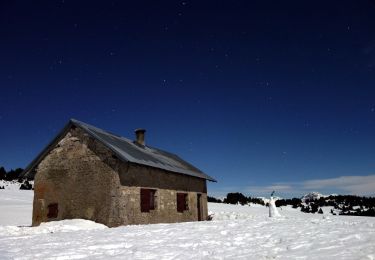
Snowshoes
Walking
Walking
Walking
On foot
On foot
Walking