


De Pont à Celles à Gouy-lez-Piétons

Desrumaux
User GUIDE

Length
13.6 km

Max alt
167 m

Uphill gradient
126 m
Km-Effort
15.3 km

Min alt
120 m

Downhill gradient
126 m
Boucle
Yes
Creation date :
2014-12-10 00:00:00.0
Updated on :
2014-12-10 00:00:00.0
3h20
Difficulty : Easy

FREE GPS app for hiking
 SityTrail
IGN / Geographical institutes
SityTrail Plus
The world is yours!
About
Trail Walking of 13.6 km to be discovered at Wallonia, Hainaut, Pont-à-Celles. This trail is proposed by Desrumaux.
Description
Détails de la rando sur le site TraceGPS.com http://www.tracegps.com/fr/parcours/circuit14203.htm
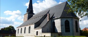
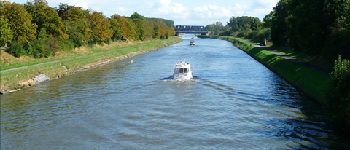
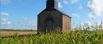
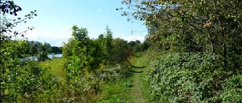
Photos


Positioning
Country:
Belgium
Region :
Wallonia
Department/Province :
Hainaut
Municipality :
Pont-à-Celles
Location:
Pont-à-Celles
Start:(Dec)
Start:(UTM)
596554 ; 5596487 (31U) N.
Comments