


les buisses st sauveur sur tinée

sylvainstaels
User
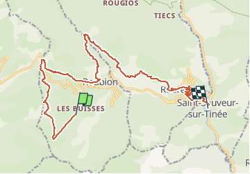

Length
22 km

Max alt
1721 m

Uphill gradient
676 m
Km-Effort
34 km

Min alt
489 m

Downhill gradient
1625 m
Boucle
No
Creation date :
2017-09-08 00:00:00.0
Updated on :
2017-09-08 00:00:00.0
2h04
Difficulty : Difficult

FREE GPS app for hiking
 SityTrail
IGN / Geographical institutes
SityTrail Plus
The world is yours!
About
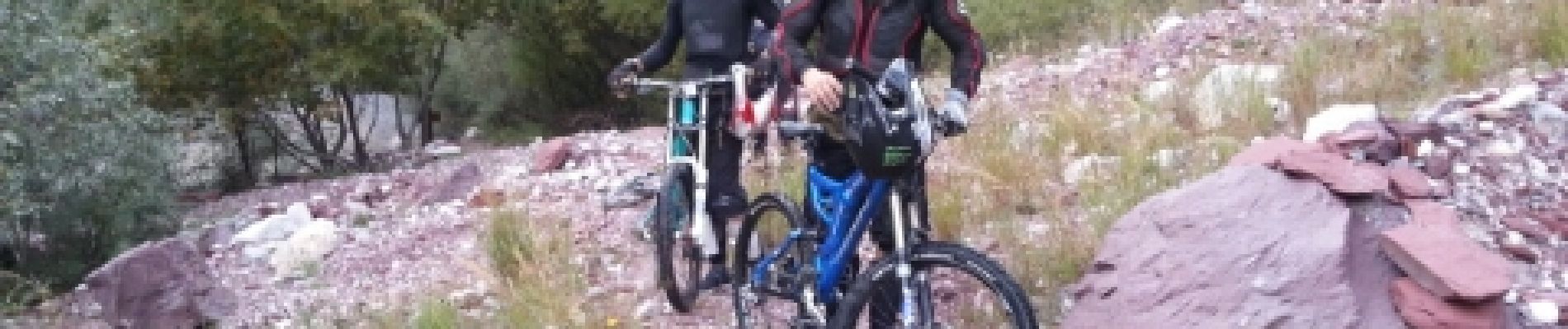
Trail Mountain bike of 22 km to be discovered at Provence-Alpes-Côte d'Azur, Maritime Alps, Roubion. This trail is proposed by sylvainstaels.
Photos


Positioning
Country:
France
Region :
Provence-Alpes-Côte d'Azur
Department/Province :
Maritime Alps
Municipality :
Roubion
Location:
Unknown
Start:(Dec)
Start:(UTM)
343034 ; 4882724 (32T) N.
Comments