


Rochegrande

PEBREJOSIANE
User
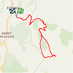

Length
12.5 km

Max alt
2763 m

Uphill gradient
1039 m
Km-Effort
26 km

Min alt
1694 m

Downhill gradient
1036 m
Boucle
Yes
Creation date :
2014-12-10 00:00:00.0
Updated on :
2014-12-10 00:00:00.0
5h57
Difficulty : Difficult

FREE GPS app for hiking
 SityTrail
IGN / Geographical institutes
SityTrail Plus
The world is yours!
About
Trail Walking of 12.5 km to be discovered at Provence-Alpes-Côte d'Azur, Maritime Alps, Entraunes. This trail is proposed by PEBREJOSIANE.
Description
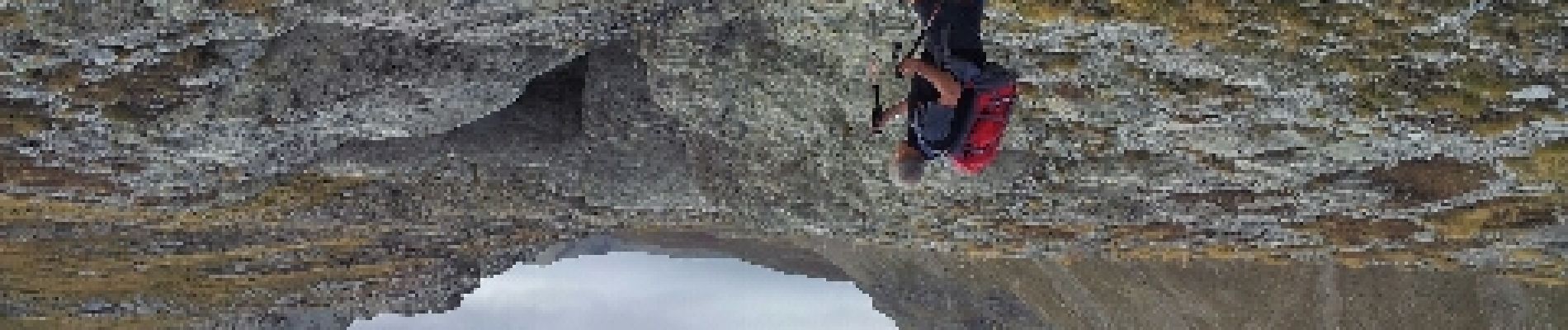
Superbe randonnée alpine, formations gréseuses spectaculaires. Dernière partie dans des eboulis puis petite escalade pour le sommet
Photos


Positioning
Country:
France
Region :
Provence-Alpes-Côte d'Azur
Department/Province :
Maritime Alps
Municipality :
Entraunes
Location:
Unknown
Start:(Dec)
Start:(UTM)
320681 ; 4899994 (32T) N.
Comments
Départ aux Louiqs 1682m et Roche grande 2752mD+ et D- 1100m