


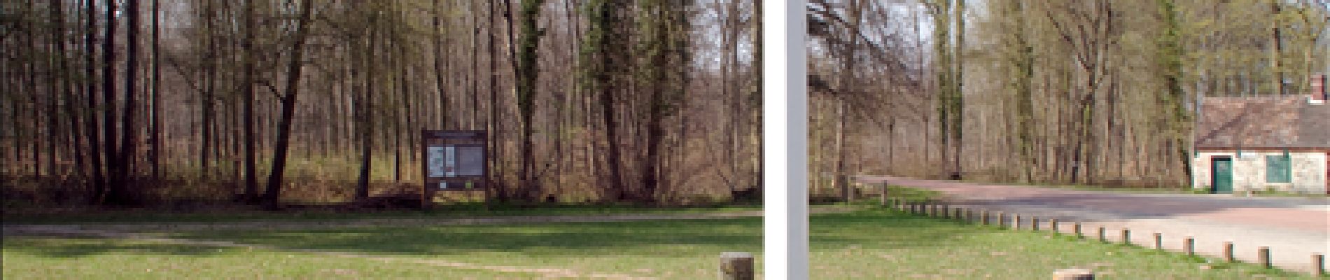
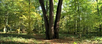
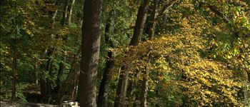
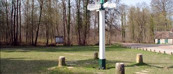
les terriers, chene à l'image

gilbertdu60
User

Length
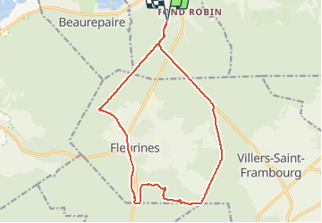
15.8 km

Max alt
150 m

Uphill gradient
207 m
Km-Effort
18.6 km

Min alt
95 m

Downhill gradient
206 m
Boucle
Yes
Creation date :
2014-12-10 00:00:00.0
Updated on :
2014-12-10 00:00:00.0
1h46
Difficulty : Medium

FREE GPS app for hiking
 SityTrail
IGN / Geographical institutes
SityTrail Plus
The world is yours!
About
Trail Other activity of 15.8 km to be discovered at Hauts-de-France, Oise, Pont-Sainte-Maxence. This trail is proposed by gilbertdu60.
Description
vélo et marche
Photos


Positioning
Country:
France
Region :
Hauts-de-France
Department/Province :
Oise
Municipality :
Pont-Sainte-Maxence
Location:
Unknown
Start:(Dec)
Start:(UTM)
470818 ; 5460000 (31U) N.
Comments