


Aveyron-121016 - Cordes-SentierBleu (txt,gps,foto)

randodan
User

Length
12.5 km

Max alt
306 m

Uphill gradient
333 m
Km-Effort
17 km

Min alt
171 m

Downhill gradient
333 m
Boucle
Yes
Creation date :
2014-12-10 00:00:00.0
Updated on :
2014-12-10 00:00:00.0
5h11
Difficulty : Unknown

FREE GPS app for hiking
 SityTrail
IGN / Geographical institutes
SityTrail Plus
The world is yours!
About
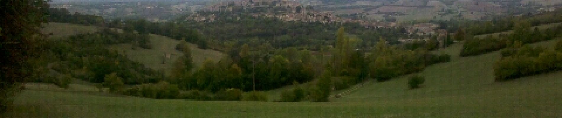
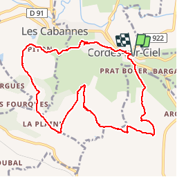
Trail Walking of 12.5 km to be discovered at Occitania, Tarn, Cordes-sur-Ciel. This trail is proposed by randodan.
Photos
 - Photo 1")
 - Photo 2")
 - Photo 3")
 - Photo 4")
 - Photo 5")
 - Photo 6")
 - Photo 7")
 - Photo 8")
 - Photo 9")
 - Photo 10")
Positioning
Country:
France
Region :
Occitania
Department/Province :
Tarn
Municipality :
Cordes-sur-Ciel
Location:
Unknown
Start:(Dec)
Start:(UTM)
416739 ; 4879272 (31T) N.
Comments