


121114-GLM - Moret-Malmontagne

randodan
User


3h18
Difficulty : Very easy

FREE GPS app for hiking
 SityTrail
IGN / Geographical institutes
SityTrail Plus
The world is yours!
About
Trail Walking of 13 km to be discovered at Ile-de-France, Seine-et-Marne, Moret-Loing-et-Orvanne. This trail is proposed by randodan.
Description
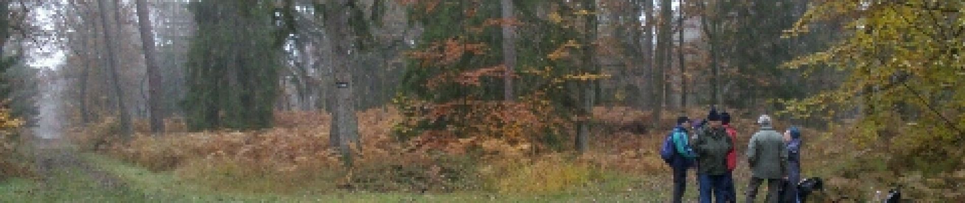
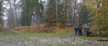
Mercredi matin . Ah, cette fois il y a majorité pour le sentier qui longe la nationale . Tout droit de chez tout droit jusqu’au Cfr de la Malmontagne pour la pause chamallows . Pour repartir, Jacques fait remarquer qu’on a pas beaucoup grimpé, alors... on grimpe sur la Malmontagne . 9 participants .
Photos

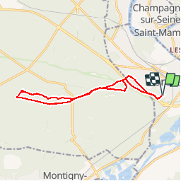
Positioning
Comments