


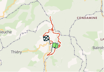

16.5 km | 31 km-effort


User


FREE GPS app for hiking
 SityTrail
IGN / Geographical institutes
SityTrail World
The world is yours!
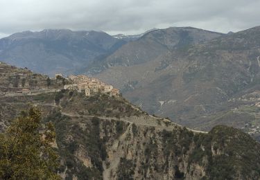
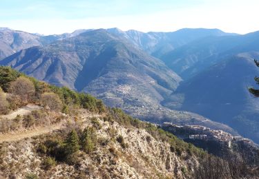
Trail Walking of 14 km to be discovered at Provence-Alpes-Côte d'Azur, Maritime Alps, Thiéry. This trail is proposed by PEBREJOSIANE.
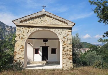
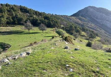
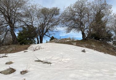
Randonnée en boucle au milieu de très belles forêts.
On foot
On foot
Walking
Walking
Walking
Walking
Walking
Walking

Walking