


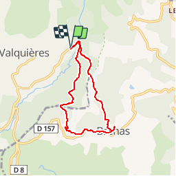
Brénas par la croix

jdelettrez
User

Length
6.3 km

Max alt
578 m

Uphill gradient
218 m
Km-Effort
9.2 km

Min alt
432 m

Downhill gradient
214 m
Boucle
Yes
Creation date :
2014-12-10 00:00:00.0
Updated on :
2014-12-10 00:00:00.0
2h05
Difficulty : Very easy

FREE GPS app for hiking
 SityTrail
IGN / Geographical institutes
SityTrail Plus
The world is yours!
About
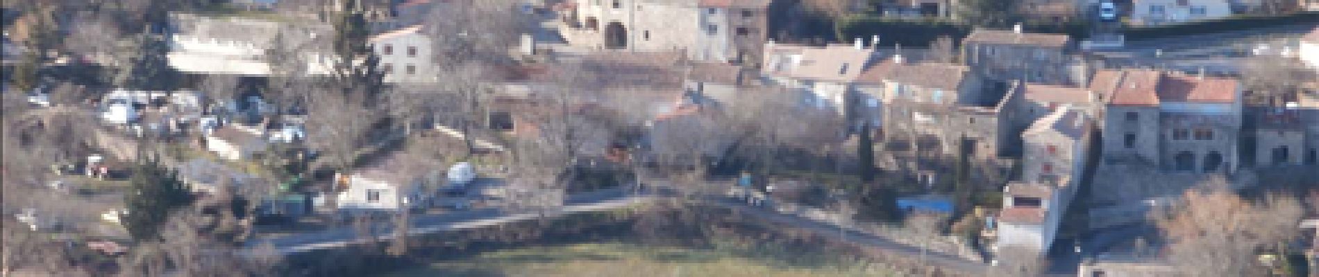
Trail Walking of 6.3 km to be discovered at Occitania, Hérault, Dio-et-Valquières. This trail is proposed by jdelettrez.
Description
De Vernazoubres à Brénas
Photos


Positioning
Country:
France
Region :
Occitania
Department/Province :
Hérault
Municipality :
Dio-et-Valquières
Location:
Unknown
Start:(Dec)
Start:(UTM)
519859 ; 4835067 (31T) N.
Comments
très beau point de vue sur le Salagou et belle promenade à travers les châtaigneraies