


Vence le Baou des Blancs

ch2slv
User
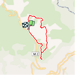

Length
7.3 km

Max alt
806 m

Uphill gradient
289 m
Km-Effort
11.2 km

Min alt
542 m

Downhill gradient
299 m
Boucle
Yes
Creation date :
2014-12-10 00:00:00.0
Updated on :
2014-12-10 00:00:00.0
2h24
Difficulty : Easy

FREE GPS app for hiking
 SityTrail
IGN / Geographical institutes
SityTrail Plus
The world is yours!
About
Trail Walking of 7.3 km to be discovered at Provence-Alpes-Côte d'Azur, Maritime Alps, Vence. This trail is proposed by ch2slv.
Description
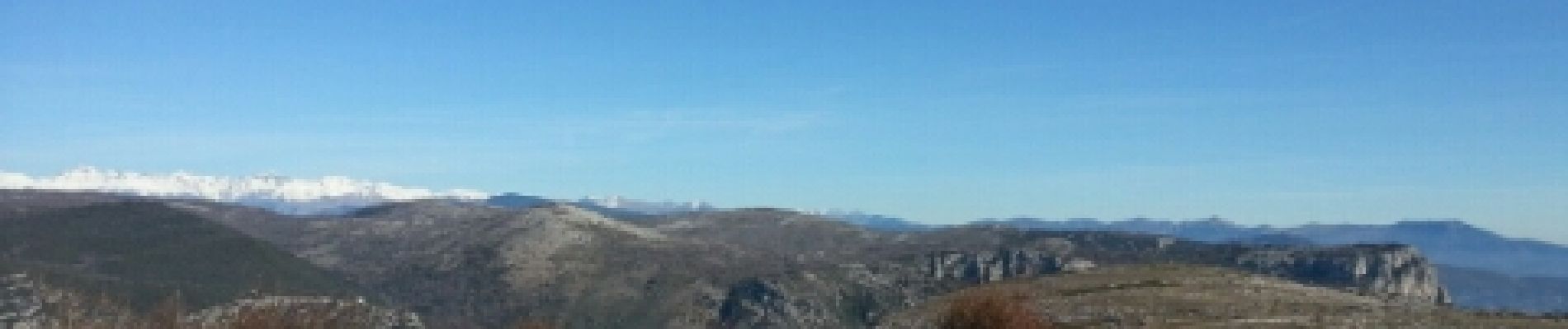
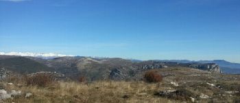
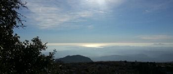
Boucle avec vue panoramique sur la Côte
Photos


Positioning
Country:
France
Region :
Provence-Alpes-Côte d'Azur
Department/Province :
Maritime Alps
Municipality :
Vence
Location:
Unknown
Start:(Dec)
Start:(UTM)
347067 ; 4845474 (32T) N.
Comments
super petite rando