


63 km | 70 km-effort

User


FREE GPS app for hiking
 SityTrail
IGN / Geographical institutes
SityTrail World
The world is yours!
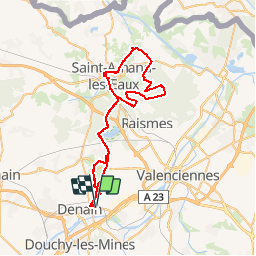
Trail Mountain bike of 54 km to be discovered at Hauts-de-France, Nord, Wavrechain-sous-Denain. This trail is proposed by tracegps.
A l'occasion du championnat de France de vélo sur route à St Amands la porte du Hainaut a organisé une sortie VTT au départ de la Trouée d'Arenberg en direction de St Amands. Le circuit se déroule en grande partie dans la forêt.


Mountain bike
Walking
Walking
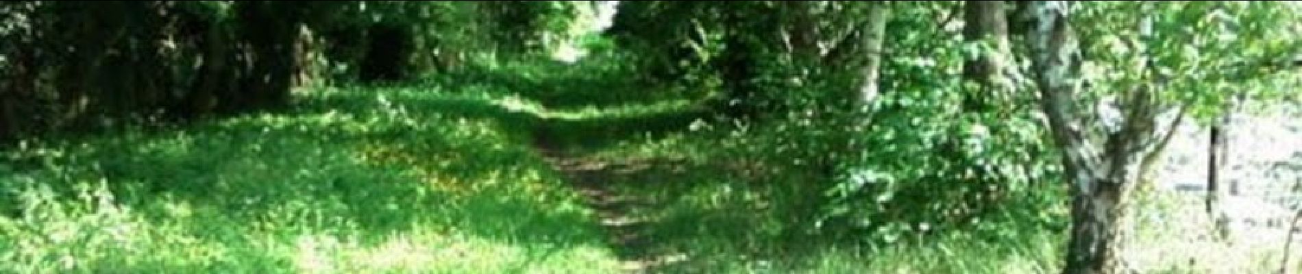
Mountain bike
Mountain bike

Walking
Walking
Walking

Walking