


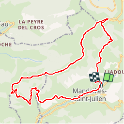

12.8 km | 24 km-effort

User


FREE GPS app for hiking
 SityTrail
IGN / Geographical institutes
SityTrail World
The world is yours!
Trail Walking of 23 km to be discovered at Auvergne-Rhône-Alpes, Cantal, Mandailles-Saint-Julien. This trail is proposed by tracegps.
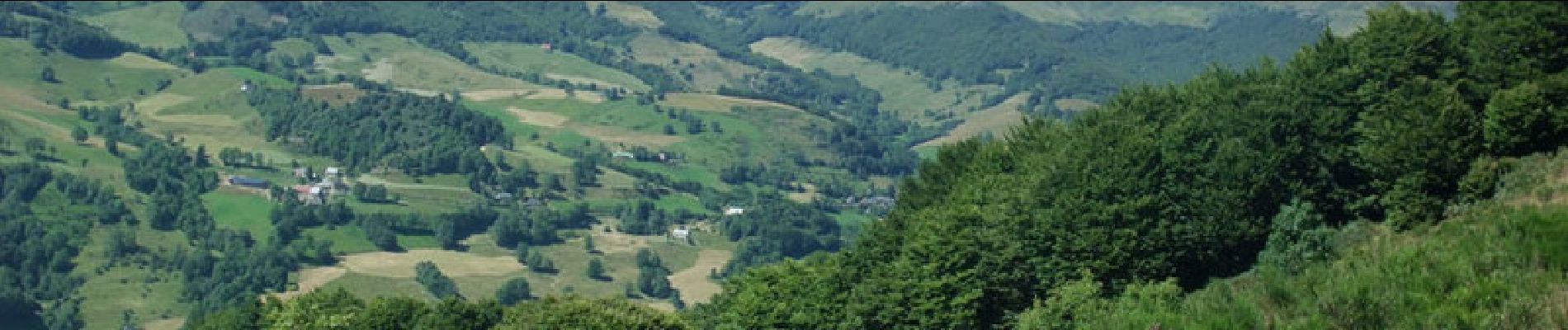
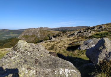
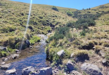
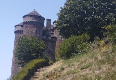
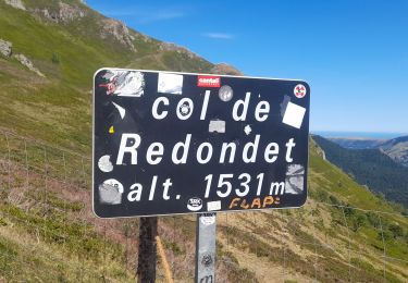
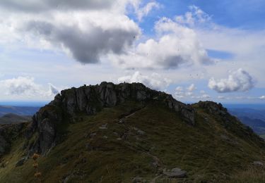
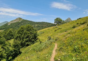
Les eaux diluviennes, dit M.B. Rames, auteur au XIXe siècle d'une carte géologique du Cantal, "ont creusé sur les flancs de ce vieux volcan, seize grandes vallées rectilignes et disposées comme les rayons d'une étoile dont le cratère serait le centre..." Notre parcours emprunte sur une longue distance la crête qui surplombe l'un des rayons constitué par la vallée de la Jordanne dite aussi la vallée de Mandailles. Le puy de Bassiérou, Cabrespine, Le Cassaïre, le puy Chavaroche, le col de Redondet près de la Chapeloune sont autant de repères sur ce "rayon" que l'on quitte à hauteur de la D17 pour plonger vers Mandailles en dévalant un petit sentier pierreux. L'itinéraire d'approche de la crête est très agréable, varié et d'une façon générale les vues sont superbes sur les monts du Cantal( puy Violent, brèche d'Enfloquet, Peyre Arse, Puy Griou, Plomb du Cantal, Puy Mary, L'Elancèze pour ne parler que des principaux et bien entendu le puy Chavaroche.


Walking

Walking
Walking
Walking
Walking
Hybrid bike
Walking
Walking
Walking