


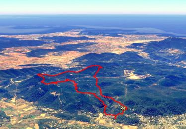
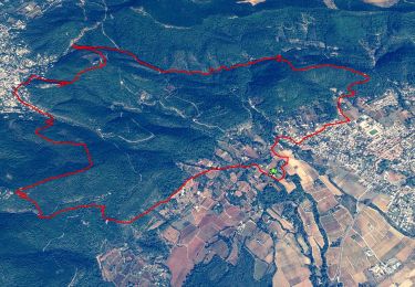
15.9 km | 24 km-effort

User


FREE GPS app for hiking
 SityTrail
IGN / Geographical institutes
SityTrail World
The world is yours!
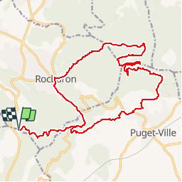
Trail Mountain bike of 25 km to be discovered at Provence-Alpes-Côte d'Azur, Var, Rocbaron. This trail is proposed by tracegps.
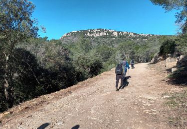
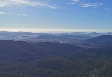
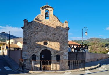
Du col de la Bigue prendre le GR 51. Arrivé sur la nationale, tourner à droite puis rapidement à gauche un petit sentier pour la Chapelle Ste Philomène. Descendre jusqu'au village de Puget, puis monter au GR 9 par l'église, l'école ou le stade. Au GR 9 aller à la piste ULM, où un petit aller-retour permet d'admirer un chêne majestueux, et ensuite par les pistes DFCI à Rocbaron. Retour par le GR 51 au col de la Bigue.


Walking
Walking
Walking
Walking
Walking
Walking
Walking
Walking
Walking
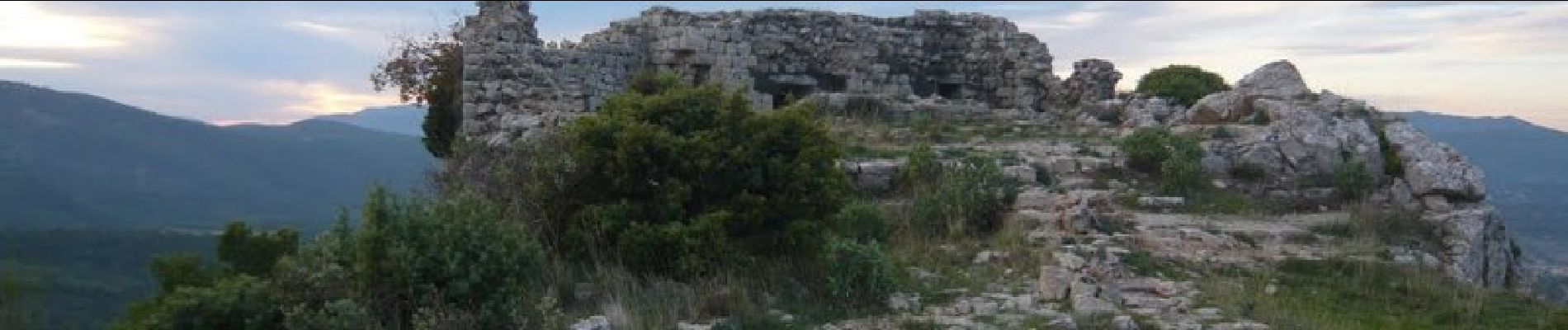
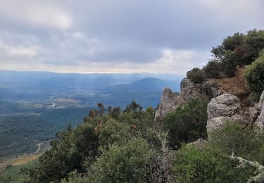
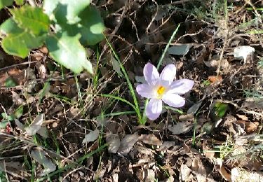
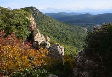
Superbe malgré quelques poussettes