Trail Walking Jubing - Day 3 Everest Base Camp - Photo

Day 3 Everest Base Camp

© OpenStreetMap contributors
Length
Length
16.7 km
Max alt
Max alt
2901 m
Uphill gradient
Uphill gradient
1251 m
Km-Effort
Km-Effort  
33 km
Min alt
Min alt
1973 m
Downhill gradient
Downhill gradient
991 m
Boucle
Boucle
No
Creation date :
2014-12-10 00:00:00.0
Updated on :
2014-12-10 00:00:00.0

(0 Reviews)

Walking
Walking
6h56
Difficulty : Difficult

Scan this QR Code to open this trail in the SityTrail application

FREE GPS app for hiking

Logo SityTrail SityTrail

IGN / Geographical institutes

Download SityTrail from the App Store Download SityTrail from Google Play

Logo SityTrail SityTrail Plus

The world is yours!

Download SityTrail from the App Store Download SityTrail from Google Play Download SityTrail on Huawei AppGallery

About

Trail Walking of 16.7 km to be discovered at Unknown, Solukhumbu, Jubing. This trail is proposed by mlmoroneybb.

Description

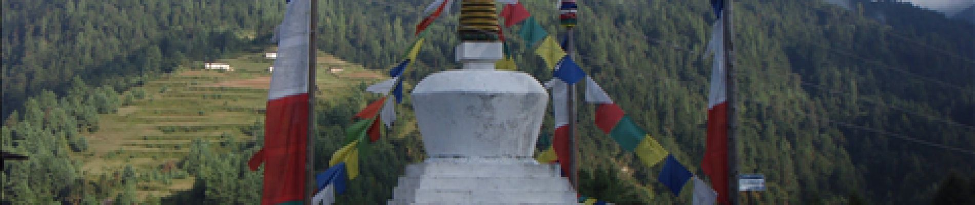
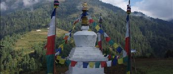
Day 3 Kharikhola to Surke

Elevation profile

Photos

Points of interest

Point of interest Jubing - bupsa - Photo
mlmoroneybb
JUBING 
Point of interest Jubing - Kare - Photo
mlmoroneybb
JUBING 
Point of interest Jubing - Karj La Pass - Photo
mlmoroneybb
JUBING 
Point of interest Jubing - Paiyan Chaubas - Photo
mlmoroneybb
Point of interest Chaurikharka - Pakhe Pani - Photo
mlmoroneybb
CHAURIKHARKA 
Point of interest Jubing - School - Photo
mlmoroneybb
JUBING 
Point of interest Chaurikharka - Surkey 4 - Photo
mlmoroneybb
CHAURIKHARKA 

Positioning

Country:
Nepal
Region :
Unknown
Department/Province :
Solukhumbu
Municipality :
Jubing
Location:
Unknown
Start:(UTM)
471468 ; 3053448 (45R) N.


Close
My subscriptions