


Angleur tilf

albert318
User
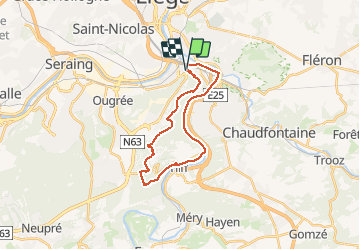

Length
21 km

Max alt
269 m

Uphill gradient
379 m
Km-Effort
26 km

Min alt
62 m

Downhill gradient
377 m
Boucle
Yes
Creation date :
2016-03-09 00:00:00.0
Updated on :
2016-03-09 00:00:00.0
5h23
Difficulty : Easy

FREE GPS app for hiking
 SityTrail
IGN / Geographical institutes
SityTrail Plus
The world is yours!
About
Trail Walking of 21 km to be discovered at Wallonia, Liège, Liège. This trail is proposed by albert318.
Positioning
Country:
Belgium
Region :
Wallonia
Department/Province :
Liège
Municipality :
Liège
Location:
Angleur
Start:(Dec)
Start:(UTM)
683264 ; 5609924 (31U) N.
Comments