


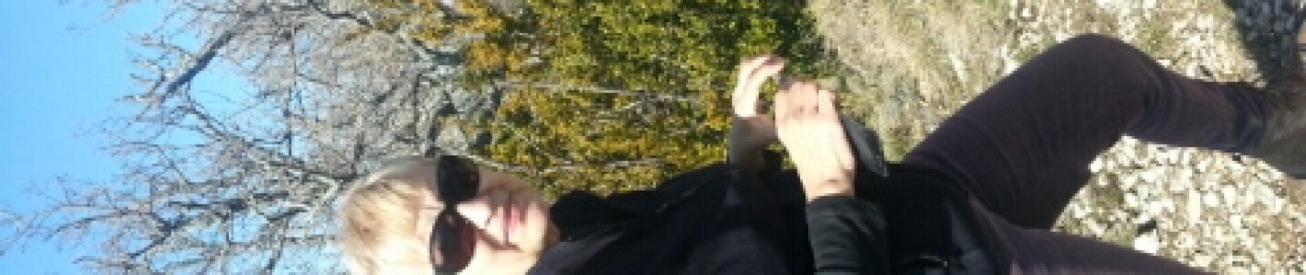
la cime des rosiers

losjo
User
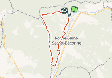

Length
15.9 km

Max alt
694 m

Uphill gradient
501 m
Km-Effort
23 km

Min alt
317 m

Downhill gradient
506 m
Boucle
Yes
Creation date :
2014-12-10 00:00:00.0
Updated on :
2014-12-10 00:00:00.0
--
Difficulty : Medium

FREE GPS app for hiking
 SityTrail
IGN / Geographical institutes
SityTrail Plus
The world is yours!
About
Trail Walking of 15.9 km to be discovered at Auvergne-Rhône-Alpes, Drôme, Roche-Saint-Secret-Béconne. This trail is proposed by losjo.
Photos


Positioning
Country:
France
Region :
Auvergne-Rhône-Alpes
Department/Province :
Drôme
Municipality :
Roche-Saint-Secret-Béconne
Location:
Unknown
Start:(Dec)
Start:(UTM)
661522 ; 4928807 (31T) N.
Comments