


RB-Ha-01 - Mont Saint-Aubert - Via allongement - 2024-10-29

GR Rando (plus commercialisé)
Randonnez sur et autour des GR ® wallons (Sentiers de Grande Randonnée). PRO


6h12
Difficulty : Very difficult

FREE GPS app for hiking
 SityTrail
IGN / Geographical institutes
SityTrail Plus
The world is yours!
About
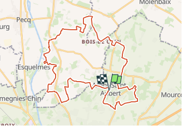
Trail Walking of 23 km to be discovered at Wallonia, Hainaut, Tournai. This trail is proposed by GR Rando (plus commercialisé).
Description
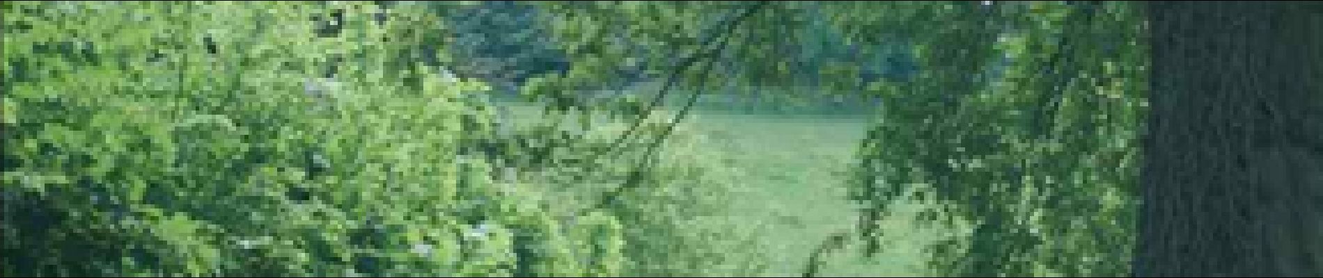
Entre marche à bâtons et ancien Escaut. Mont-Saint-Aubert – Léaucourt – Obigies – Mont-Saint-Aubert. La colline emblématique du Tournaisis et ses flancs vous offriront leurs panoramas et leurs sentiers ou chemins que vous sillonnerez, dévalerez ou grimperez. Vos pas vous mèneront à travers une campagne aux hameaux et fermes dispersés vers l’Escaut et sa coupure (ancien méandre du fleuve) de Léaucourt. Vous découvrirez une campagne discrète et modeste qui ne manque pas de charme.
Photos


Positioning
Comments
mooie natuur maar ook wel lange stukken verhard, toch van genoten.
71.200