


13.4 km | 16.3 km-effort


User


FREE GPS app for hiking
 SityTrail
IGN / Geographical institutes
SityTrail World
The world is yours!
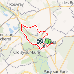
Trail Walking of 10.2 km to be discovered at Normandy, Eure, Ménilles. This trail is proposed by marcel.F.
Boucle au départ mairie de Ménilles
parcours homologué CAPE - balisage jaune
Walking
Walking

Walking
Walking
Walking
Walking
Walking
Walking

Road bike
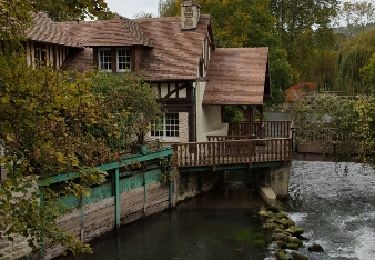
randonnée agréable