


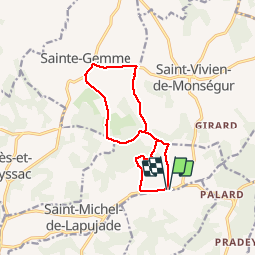

14.3 km | 18.7 km-effort


User


FREE GPS app for hiking
 SityTrail
IGN / Geographical institutes
SityTrail World
The world is yours!
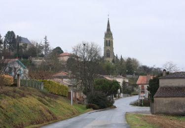
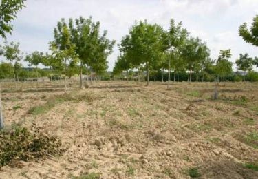
Trail Walking of 12.1 km to be discovered at New Aquitaine, Gironde, Saint-Michel-de-Lapujade. This trail is proposed by Elbe.
Départ depuis le parking de l'église de Lorette vers les Péringeaux, les Bouzigues, le Merle, Peyrelongue, les Grands Eyriaux, la Paillouse, le Cathelic.
Equestrian
Mountain bike

Walking
Equestrian

Mountain bike

Walking

Equestrian

Mountain bike
Walking