


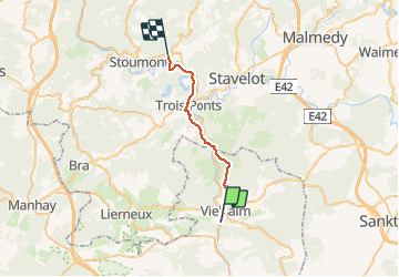
Vielsalm-La gleize

albert318
User

Length
21 km

Max alt
454 m

Uphill gradient
557 m
Km-Effort
29 km

Min alt
213 m

Downhill gradient
607 m
Boucle
No
Creation date :
2014-12-10 00:00:00.0
Updated on :
2014-12-10 00:00:00.0
6h03
Difficulty : Medium

FREE GPS app for hiking
 SityTrail
IGN / Geographical institutes
SityTrail Plus
The world is yours!
About
Trail Walking of 21 km to be discovered at Wallonia, Luxembourg, Vielsalm. This trail is proposed by albert318.
Description
De Vielsalm à La Gleize par le chemin des croix
Positioning
Country:
Belgium
Region :
Wallonia
Department/Province :
Luxembourg
Municipality :
Vielsalm
Location:
Vielsalm
Start:(Dec)
Start:(UTM)
707350 ; 5573832 (31U) N.
Comments