


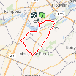

12.9 km | 14.3 km-effort

User


FREE GPS app for hiking
 SityTrail
IGN / Geographical institutes
SityTrail World
The world is yours!
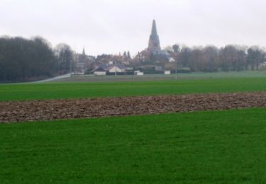
Trail Walking of 9.5 km to be discovered at Hauts-de-France, Pas-de-Calais, Rœux. This trail is proposed by tracegps.
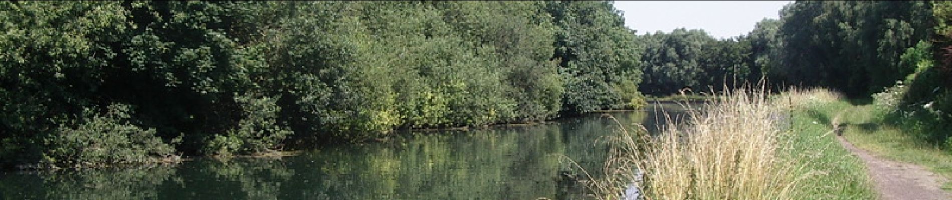
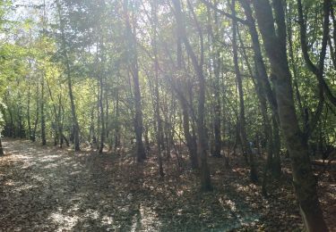
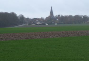
Circuit au départ de l'église de Roeux. Franchir la Scarpe et longer le marais des Places pour rejoindre Monchy-le-Preux ; Dans ce village, remarqué le caribou, monument érigé pour commémorer le sacrifice des membres du régiment de Terre Neuve le 14 avril 1917. Prendre ensuite la D 33E1 pour rejoindre Pelves. Après avoir rejoints la Scarpe, on la suit vers l'ouest pour atteindre Roeux.


Walking

Walking

Walking

Walking

Walking
Walking
Walking
Walking
Walking