


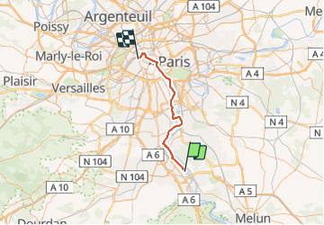
Convergence Francilienne Evry-Paris

ouargla
User

Length
42 km

Max alt
60 m

Uphill gradient
365 m
Km-Effort
47 km

Min alt
11 m

Downhill gradient
368 m
Boucle
No
Creation date :
2014-12-10 00:00:00.0
Updated on :
2014-12-10 00:00:00.0
2h30
Difficulty : Easy

FREE GPS app for hiking
 SityTrail
IGN / Geographical institutes
SityTrail Plus
The world is yours!
About
Trail Cycle of 42 km to be discovered at Ile-de-France, Essonne, Évry-Courcouronnes. This trail is proposed by ouargla.
Description
Parcours effectué à l''occasion de la convergence Francilienne du 02/06/2013. Parcours facile, sans gros dénivelé et empruntant une bonne partie des bords de Seine.
Positioning
Country:
France
Region :
Ile-de-France
Department/Province :
Essonne
Municipality :
Évry-Courcouronnes
Location:
Évry
Start:(Dec)
Start:(UTM)
459650 ; 5386993 (31U) N.
Comments