


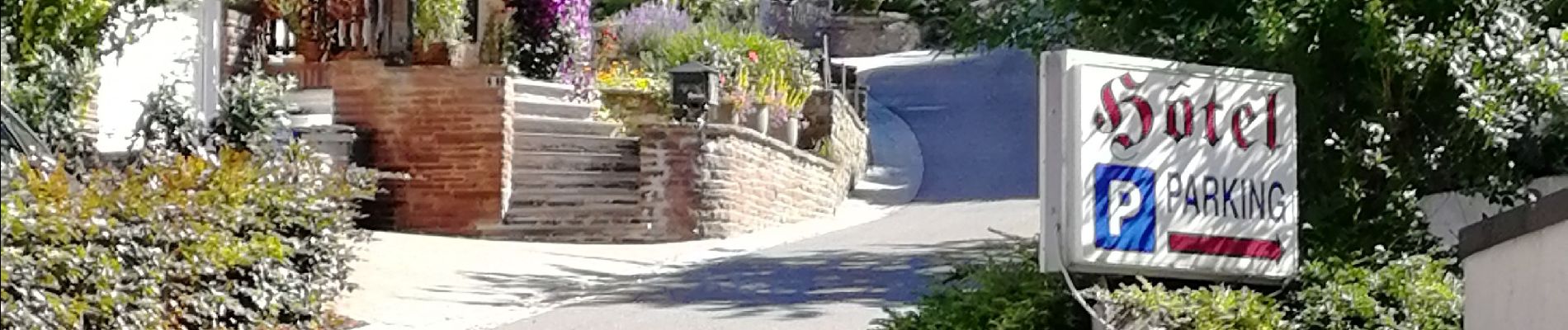
Randonnée au Natuurpark à partir de Vianden

Alfredy
User GUIDE
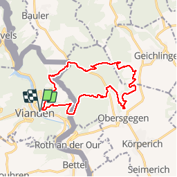

Length
14.9 km

Max alt
450 m

Uphill gradient
485 m
Km-Effort
21 km

Min alt
212 m

Downhill gradient
488 m
Boucle
Yes
Creation date :
2018-07-02 07:59:33.765
Updated on :
2018-07-14 12:25:34.548
4h43
Difficulty : Medium

FREE GPS app for hiking
 SityTrail
IGN / Geographical institutes
SityTrail Plus
The world is yours!
About
Trail Walking of 14.9 km to be discovered at Unknown, Canton Vianden, Vianden. This trail is proposed by Alfredy.
Photos


Positioning
Country:
Luxembourg
Region :
Unknown
Department/Province :
Canton Vianden
Municipality :
Vianden
Location:
Unknown
Start:(Dec)
Start:(UTM)
299785 ; 5535067 (32U) N.
Comments