


balade sagne et goudoulet avec meyras

raab
User

Length
10.5 km

Max alt
1290 m

Uphill gradient
264 m
Km-Effort
14.1 km

Min alt
1163 m

Downhill gradient
264 m
Boucle
Yes
Creation date :
2018-07-09 16:08:45.554
Updated on :
2018-07-09 16:12:44.663
2h59
Difficulty : Medium

FREE GPS app for hiking
 SityTrail
IGN / Geographical institutes
SityTrail Plus
The world is yours!
About
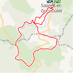
Trail Walking of 10.5 km to be discovered at Auvergne-Rhône-Alpes, Ardèche. This trail is proposed by raab.
Positioning
Country:
France
Region :
Auvergne-Rhône-Alpes
Department/Province :
Ardèche
Municipality :
SAGNES-ET-GOUDOULET
Location:
Unknown
Start:(Dec)
Start:(UTM)
597018 ; 4960423 (31T) N.
Comments